
Greenbelt, MD – September 2026
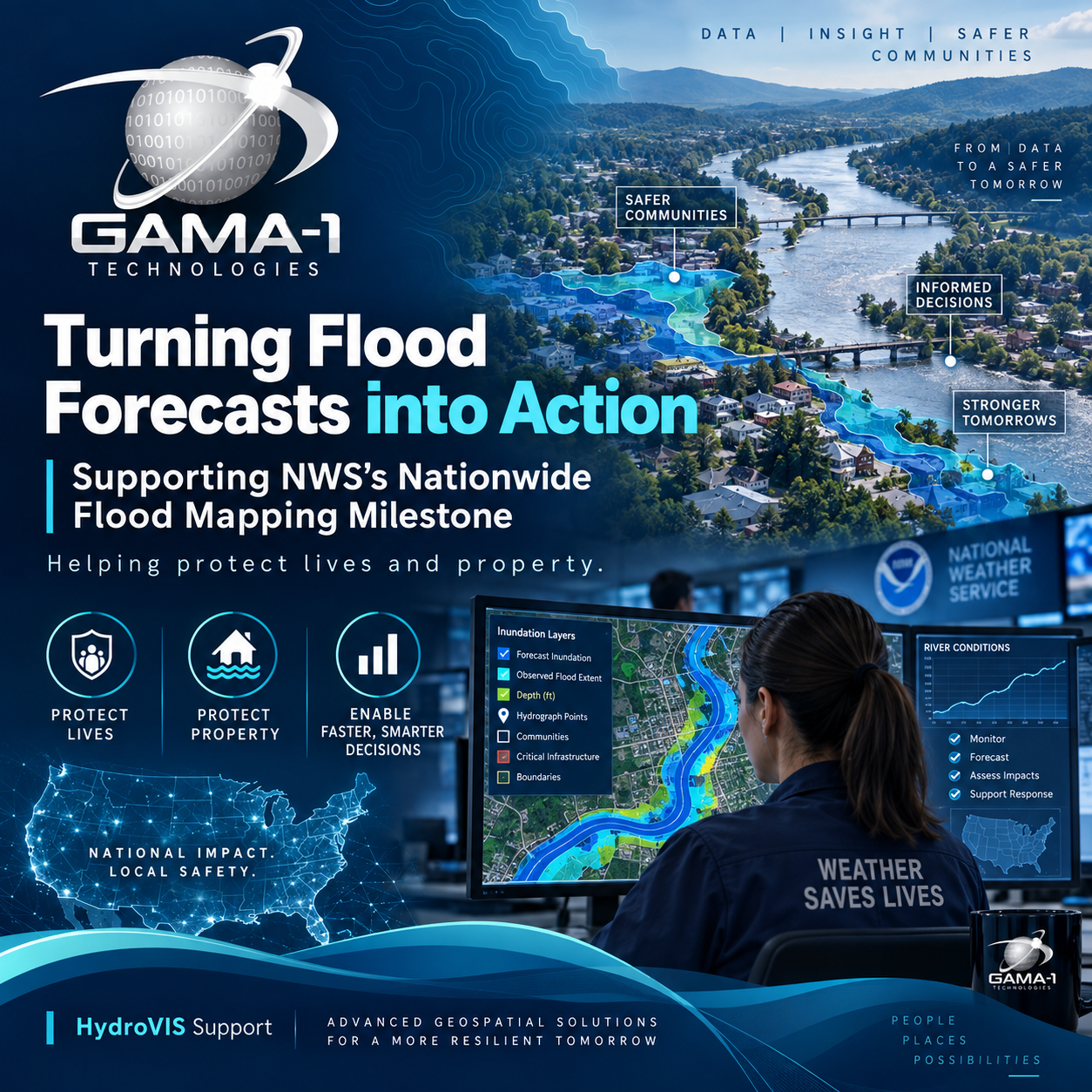
Recognizing the HydroVIS team helping make flood information more accessible—and supporting decision that protect lives and property.
GAMA-1 Technologies is proud to celebrate the team supporting our National Weather Service (NWS) HydroVIS contract as NWS reaches a significant milestone: experimental Flood Inundation Mapping (FIM) services are now available to nearly 100% of the U.S. population. Announced on September 24,2026, the expansion brings neighborhood-level river flood information to more communities, strengthening their ability to understand and prepare for potential flooding.
In his September 24 message to NWS staff, NWS Director Ken Graham celebrated the expansion from 60% coverage in September 2025. His message described services covering 110,000 river miles near NWS River Forecast Center forecast locations, along with 3.3 million river miles driven by National Water Model forecasts.
For GAMA-1’s HyrdoVIS team, this milestone connects technical work to a clear public-service purpose: helping NWS make complex flood information accessible to the people who need it.
GAMA-1’s Role: Connecting Water Prediction to Usable Information
Under our HydroVIS contract, GAMA-1 supports the hydrologic visualization and geospatial services that help translate model outputs and environmental data into actionable flood information. Our support encompasses HydroVIS application and cloud operations, flood-inundation mapping and visualization services, data-service and map-layer improvements, and development, integration, testing, and operational transition activities. These contributions help support the technology through which NWS delivers water intelligence to mission users.
One example is the team’s work helping NOAA improve how multiple probabilistic flood-inundation products are presented through a sustainable service for field users. By strengthening the accessibility and usability of these products, GAMA-1 helps make sophisticated water-prediction capabilities more useful in operational settings.
This is GAMA-1’s contribution to a broader NWS achievement supporting the systems and services that connect forecasting science with practical decision support.
Recognizing the People Behind the Mission
Led by Theresa Manassa, Sr. Program Manager, the HydroVIS team brings together GAMA-1 professionals Lorne Leonard, PhD; Drix Tabligan; and Michael Doria, alongside subcontractor teammates Edison Orelland, George Rought, and Nipa Parikh.
GAMA-1 recognizes each of these team members for their contributions to HydroVIS and their support of NWS’s water-prediction mission. Their collective work represents the collaboration needed to turn complex technical requirements into services that support the client’s goals.
"Supporting NWS means understanding that the systems we help deliver serve people facing real decisions—whether to evacuate, protect a home, or move emergency resources. Our HydroVIS team brings that purpose to its work every day. By helping make complex flood information accessible and usable, we support NWS forecasters and emergency managers in their mission to save lives and protect property. I am incredibly proud of this team's technical expertise, collaboration, and commitment to the communities NWS serves."
Theresa Manassa, Sr. Program Manager, GAMA-1 Technologies
A National Milestone with Local Impact
Flood-inundation mapping helps answer a question that river levels alone cannot fully communicate: What could flooding mean for my neighborhood? By showing potential flooding at a neighborhood scale, FIM helps forecasters, emergency managers, and residents understand where river flooding may occur and prepare for its impacts. NOAA has documented its use in supporting evacuations, road closures, and emergency-management decisions.
GAMA-1 congratulates NWS’s Office of Water Prediction, River Forecast Centers, Weather Forecast Offices, and the broader community of contributors celebrated in Graham’s announcement. We are honored to support their work and proud of our HydroVIS team’s part in advancing this shared mission.
The expanded experimental flood maps are publicly accessible through the NOAA National Water Prediction Service, with additional products and services available through National Water Center Operations.
For GAMA-1, the purpose behind the technology remains clear: support the people delivering critical information—and the communities depending on it.